
Sources for Franklin Neighbors
Official block research begins with geography. The Franklin map shows where to look, the county parcel service supplies a second geometry, and Assessordata connects a street address or tax key to a property record. Ward and civic sources can then add public context. These are not household rosters. The source, access route, and limit must travel with every note.
| Source | What It Shows About a Block | Access |
|---|---|---|
| Franklin GIS Map Gallery | Parcel shapes, streets, and map context around one address | Free reference viewer |
| Assessordata | Property record reached by address or tax key | Public online search |
| Milwaukee County parcel service | Parcel geometry plus political and voting-district context | Free public GIS service |
| Franklin elections page | Ward groupings and polling locations | Public city page |
| Recorded plats and declarations | Subdivision, condominium, outlot, and common-area evidence | Tapestry, ROD counter, mail, or appointment |
| Franklin civic organizations | Public contacts for local groups, not private members | Public city contact list |
An assessor entry can identify an owner without identifying every occupant. A deed records an instrument, not present-day occupancy. Ward information places a parcel in election geography but does not name a block's voters. Franklin has no official neighborhood-association, condominium-association, HOA, or block-member directory documented in the research. A missing roster is not a reason to assemble one from indirect clues.
Trace Adjoining Franklin Tax Keys
Open the Franklin GIS Map Gallery, find the subject parcel, and turn on parcel boundaries. Record each tax key on a parcel that truly adjoins the subject. Save the map date, visible street names, ZIP and ward context, and a note about any uncertain edge. The gallery is a reference tool, not a survey or title record.
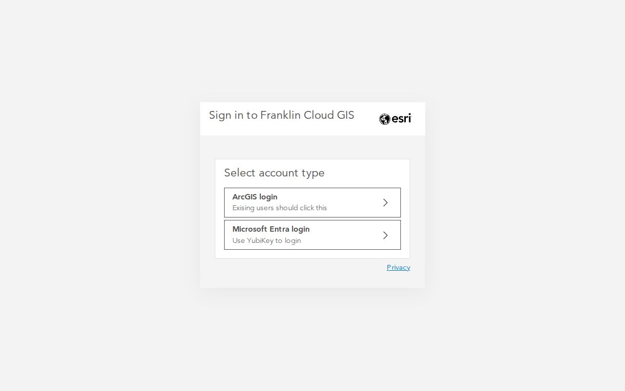
The captured gallery landing view leads to Franklin's current map resources. It helps define the block before any names are searched.
Repeat the address worksheet for each adjoining parcel: standardized address, tax key, current shape, ZIP, ward or district, and map date. Search Assessordata separately for each tax key or address. Exempt, split, combined, or recently changed parcels may not show the same fields.
Cross-Check Franklin Parcel Geometry
The Milwaukee County parcel service gives an independent view of parcel shapes and political or voting attributes. Its query service supports tax-key and parcel-layer fields, and its maximum record count is 2,000. Parcel polygons are updated bimonthly. Cadastral changes, meaning mapped lot and boundary changes tied to land records, are updated daily and published bimonthly from recorded documents and tax-listing changes.
The county service is a second map source, useful when a city-map edge or district label needs a check. Compare its boundary with the Franklin map and record the layer name, map date, and any mismatch rather than treating either display as a legal survey.
Map a Franklin Block Outward
Move from one confirmed address to only the parcels that touch it. This keeps the work tied to a defined block instead of drifting across a whole named street. A tax key is the parcel's local identifier. A parcel is a mapped unit of land, and its shape may not match a fence, lawn, mailing address, or occupied unit.
- Standardize the starting address, then locate it in Franklin's GIS gallery. Confirm the parcel shape and tax key.
- Mark each parcel with a shared boundary. Treat a corner touch, outlot, condominium footprint, or common drive as uncertain until the plat explains it.
- Search each address or tax key in Assessordata. Record only the public property facts shown and the date checked.
- Compare the county parcel geometry, ward, and district fields. Note conflicts instead of choosing the more convenient map.
- Use a recorded plat or declaration when parcel form is unclear. For an entire road, move to the Franklin street directory workflow.
The resulting evidence card should keep the subject address, map date, adjoining tax keys, street names, ward and polling location, ZIP result, recorded-document lead, public civic lead, and a missing-data note. Add “not proof of current occupancy” to map, index, and historical facts.
Franklin Neighbors Across 22 Wards
Franklin's election page groups 22 wards into six polling locations. City Hall serves wards 1 through 3. The Law Enforcement Center serves 4 through 7, the Polish Center serves 8 through 11, the Milwaukee County Sports Complex serves 12 through 19, and St. Martin of Tours Church serves 20 through 22. These counts reveal civic geography, not how many people live on a block.
MyVote Wisconsin is the official route for a person's own registration and polling details. The City Clerk maintains election records and voter files. Wis. Stat. §6.36 protects dates of birth, driver-license numbers, Social Security numbers, ID serial numbers, accommodation data, and certain protected addresses. Public voter fields must not be recast as a household directory.
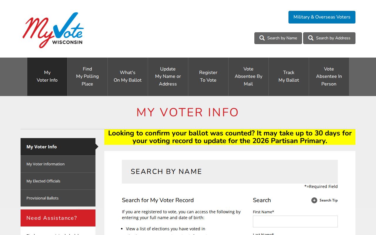
The MyVote capture shows the official self-service doorway. Its role is election administration, not identifying Franklin neighbors.
Franklin Civic Contacts, Not Rosters
Franklin's civic-organizations page provides public ways to reach groups that serve the city. No official neighborhood-association or HOA member directory was found. Ask a public contact about an event, archive, service, or open meeting. Do not ask for private membership data.
History and archives
Franklin Historical Society preserves local buildings and history. Franklin Public Library and its foundation connect readers with public programs and research help.
Service and veterans
Franklin Lions groups, VFW Post 10394, and Willey Herda American Legion Post 192 appear as organization contacts, not lists of members.
Community outreach
The Police Community Resources page identifies a Community Resource Officer for residents, groups, and civic organizations.
Local programs
Senior groups, Franklin Park Concerts, the land conservancy, and other listed organizations offer public contact points.
A public group can provide context about Franklin's shared life without revealing who belongs to it. That distinction keeps a block search useful and respectful.
Official Franklin Block Evidence
Commercial neighbor tools often merge marketing data, old listings, and inferred relationships. Official records are narrower, but their keeper, date, and correction route are known. Use them for the public fact they were made to document.
| Source type | Strength | Limit |
|---|---|---|
| City and county parcel maps | Defined geometry, tax keys, streets, districts | Reference map, not a survey or occupant roll |
| Assessor record | Dated parcel and assessment context | Owner does not always mean occupant |
| Recorded plat or declaration | Official document trail for lots and shared property | May require paid search, copy, or staff help |
| Commercial category | May combine broad sources quickly | Source dates, accuracy, and inferences may be unclear |
Correct errors at the source. The Franklin Assessor handles assessment records, the county Land Information Office maintains its map service, and the Register of Deeds keeps recorded instruments.
Privacy for Franklin Neighbors
Public parcel records do not identify all renters, family members, guests, or other occupants. Utility and delivery records are not a public block directory. Wisconsin Safe at Home gives qualified victims a substitute address and lets a local clerk protect records that reveal the actual location after proper notice. Never try to reverse a substitute or suppressed address.
A map hit, voter field, ZIP result, or assessor entry does not prove present residence. Keep dates and source wording attached. If a city document is needed, Franklin's open-records form accepts email, mail, fax, or City Hall drop-off under Wisconsin Public Records Law. Ask only for a named public record and respect every exemption or redaction.
Lawful use. Research Franklin neighbors only for respectful civic, historical, property, reconnecting, or personal-safety purposes. Never watch, threaten, harass, or expose another person.