
When a Franklin Address Search Stalls
A useful street directory includes routes beyond the live portal. For city-held material, the Franklin City Clerk accepts its records form by email, USPS mail, fax at (414) 425-6428, or drop-off at City Hall, 9229 W. Loomis Road, Franklin, WI 53132. The office is open Monday through Friday from 8:00 a.m. to 4:30 p.m. and can be reached at (414) 425-7500. Describe the category, address or tax key, date range, and desired format. A narrow request for a permit, final inspection, council item, or ordinance is more workable than asking for everything associated with an address.
For deeds, use Tapestry for the documented online span, the Register of Deeds counter for inspection, mail for a known document, and an appointment for historical succession. County Land Information supplies map downloads, but a GIS export is not a certified deed or survey. Ask which identifier will retrieve the source when a tax key or spelling fails.
Historical gaps require another handoff. Milwaukee Public Library can help navigate regional address directories, maps, phone books, photographs, fire-insurance atlases, and archives. Wisconsin Historical Society and Franklin Historical Society add township plats, buildings, families, churches, and school leads. They provide context and finding aids, not certified ownership. Record the shelf, volume, year, and page so a finding can be repeated.
The portal finds, the counter clarifies, the request process obtains releasable city material, and the archive reconnects an obsolete address to its era. Keeping these roles separate prevents a missing online hit from becoming a false conclusion.
Follow a Franklin Street Address Across Records
Ownership appears through property and deed systems, while actual residence needs separate, dated evidence. A useful Franklin street directory works from place to person. Keep the standardized house number, directional, suffix, tax key, parcel outline, ZIP, municipality, legal description, and observation date together.
- Standardize the mailing address with the official USPS lookup, recording each directional and suffix.
- Follow the Franklin Assessor link to Real Property Data. Search by address or tax key and save the tax key.
- Compare the city GIS parcel with Milwaukee County's parcel service. Note boundaries, adjoining lots, ward, and ZIP context.
- Use the legal description and party names to locate deeds or plats through the Milwaukee County Register of Deeds.
- Check permit files and dated directory or election sources only for the narrower facts they establish.
An assessor result identifies the ownership record attached to a parcel, not everyone at the address. A voter entry is election-administration data, and a directory establishes only what its dated edition printed. These distinctions keep a street-by-street search useful without turning clues into claims of current residence.
Search Franklin Real Property Data by Address
The Franklin Assessor page links to Assessordata and describes the assessor's role in valuing and maintaining real-property records. The exposed controls support county, property address, and tax key. Owner-name search was not confirmed on the reviewed screen, so address-first is the documented route.
| Search input | Record it as | Purpose |
|---|---|---|
| County | Milwaukee County | Selects the correct assessment system |
| Property address | Number, directional, street, suffix | Finds the present situs record |
| Tax key | Exact official identifier | Bridges maps, permits, and deeds |
| Observation date | Date viewed | Separates a live display from older evidence |
The Real Property Data search is the portal entry used for a Franklin street directory. Use the returned tax key as a cross-reference rather than guessing from a similar street. Questions about value or an apparent error go to assessor@franklinwi.gov or (414) 425-1416. The assessor values property but does not set tax rates.
Compare Franklin and County Parcel Maps
The Franklin GIS property viewer supplies parcels, roads, boundaries, and other layers. Its disclaimer says maps are reference material, may combine several sources, and do not replace recorded maps or surveys. The county service provides a second view and supports Query, Find, Identify, and Export Map.
The Milwaukee County parcel service exposes the service used for that independent check.
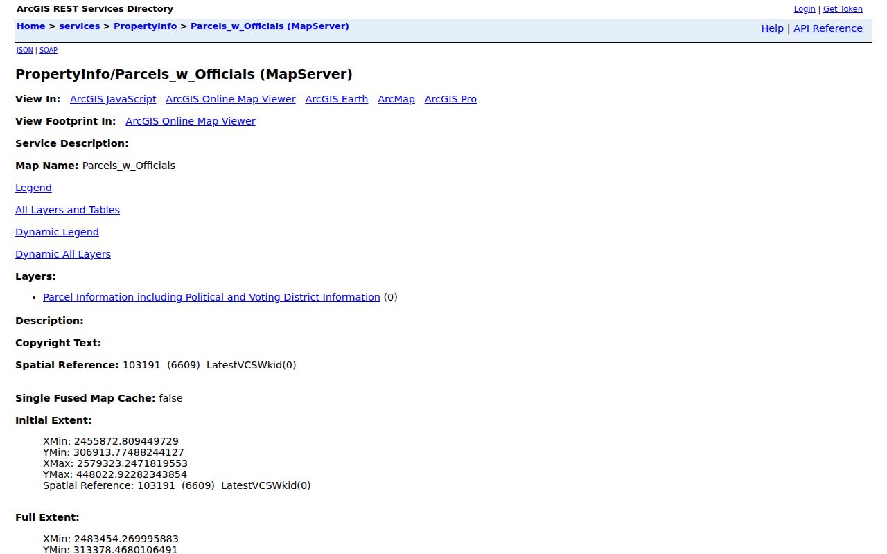
Read parcel edges before treating the nearest building as the searched lot. Shared drives, outlots, splits, mergers, and tax-listing changes can make visual adjacency misleading. Save parcel shape and tax key, then confirm ownership through a recorded instrument when title matters.
Franklin Street Directory Record Coverage
Each address source contributes a different layer. Preserve identifiers from one step for the next and note whether access was online, by request, or at a public counter.
| Address record | Official keeper | Evidence | Access route |
|---|---|---|---|
| Property roll | Franklin Assessor | Address and tax key | Assessordata; phone or email |
| Parcel map | Franklin and Milwaukee County GIS | Geometry, roads, voting geography | City gallery; county query service |
| Deeds and plats | Milwaukee County Register of Deeds | Parties, dates, legal description | Tapestry; counter; mail; appointment |
| Election material | Franklin City Clerk | Specified public registration facts | MyVote for one's own record; clerk request |
| Building permits | Franklin Inspection Services | Issued work and inspection results | PDFs; email, phone, fax, request |
| Reverse directories | Milwaukee Public Library | Dated address listings | Library reference services |
The tax key and legal description tie the roll to deeds. Exact street spelling ties a place to permit and directory searching. For a historical run, use the Franklin previous residents guide; this page stays focused on walking a street.
Address Terms That Prevent False Matches
- Parcel
- A mapped land unit tied to a tax key. An address may relate to multiple parcels, and geometry can change after recorded splits.
- Situs address
- The property's physical location, which may differ from an owner's mailing address or postal city label.
- Plat
- A recorded map establishing subdivision lots, blocks, roads, and boundaries.
- Criss-cross directory
- A directory arranged by address. Milwaukee Public Library's regional address lookup begins with 1921 editions.
These are separate identifiers. A by-address note should name which key came from which custodian and when it was observed.
Milwaukee Deed Dates Change the Search
The Register of Deeds reports all recordings searchable from 1962 forward by modern keys, and deeds from April 1, 1948 forward by grantor, grantee, tract, or document number. Deeds from 1835 through March 31, 1948 require document number or book/page. Plats through June 1991 likewise use document number or plat book/page; July 1991 forward uses modern keys.
An empty name search does not prove an older Franklin deed is absent. Start with the legal description, a plat, an older index, or a book/page clue. Tapestry costs $6.95 per search, with printing at $1.50 for the first page and $1 for each additional page, and cannot issue certified copies.
The Register of Deeds records page gives the official online, counter, mail, and historical-research routes. The office at 901 N. 9th Street, Room 103, Milwaukee, is open weekdays 8:00 a.m. to 4:00 p.m. Call (414) 278-4021, or (414) 278-4001 for a precise search question. Historical succession requires an appointment; staff explain indexes but do not build the chain.
Address-Keyed Franklin Permit Files
Inspection Services publishes forms for building, occupancy, plumbing, electrical, HVAC, demolition, drive approaches, and related work. Its permits-issued page is a set of PDFs, not a universal address portal. Identify the address, tax key, permit type, approximate date, and desired format.
Send inquiries to generalinspection@franklinwi.gov, call (414) 425-0084, fax (414) 425-7513, or visit City Hall at 9229 W. Loomis Road. When a record is not posted, use the Franklin open-records form by email, mail, fax, or drop-off. Ask for final permits, inspection results, certificates, or releasable plans.
Keep the event straight. A permit documents work or use. City guidance says a residential ownership change alone does not require a new residential occupancy permit, so absence of that permit does not disprove a transfer.
Franklin Streets Before City Incorporation
Franklin was surveyed in the early 1830s, became a civil town in 1839, was organized as a township in 1841, and incorporated as a city in 1956. Older sources may use Franklin Township, section-town-range, a subdivision or lot, or a rural road rather than today's address.
The 1876 Franklin Township plat, reprinted in 1976, records owners, roads, railroads, buildings, schools, cemeteries, churches, streams, and section lines. It bridges present geography to nineteenth-century clues but is not a deed. St. Martins and Colby Road are useful historical variants.
No official Franklin-specific street-number converter was found. Milwaukee Public Library's 1930 Milwaukee city supplement is not a Franklin rule. Try road variants, township language, lot/block, section-town-range, tax key, and adjoining parcels, then ask the library, Register of Deeds, or Franklin Historical Society.
Franklin Ward Geography Is Not a Household List
Franklin's election page groups 22 wards across six polling locations. This can confirm civic geography, while MyVote Wisconsin lets a voter check their own information. A focused public-record request goes to the City Clerk for a specified public election record.
Wisconsin law makes specified registration information public but withholds birth dates, driver-license numbers, Social Security numbers, ID serial numbers, accommodation information, and protected addresses. Safe at Home also protects participants. A voter result cannot establish everyone occupying a property and should not be combined with assessor data into an inferred roster.
Limits of a Franklin Street Directory
No reviewed official source provides a real-time list of everyone at every Franklin address. Assessor and deed files concern property interests; GIS shows geography; permits describe work; election records serve election administration; directories are dated snapshots. Postal labels and ZIP polygons do not establish city limits.
Keep the URL, retrieval date, record date, jurisdiction, spelling, and supported fact. Confirm important findings across two sources and obtain a certified copy when the legal record matters. The Franklin city directory collections can locate a dated occupant but should not be carried forward as current information.
Lawful use. Use Franklin street directory records for personal house history, family research, civic curiosity, or checking an official property claim. Never use address information to stalk, harass, threaten, or expose a protected person.